Yenyening Lakes
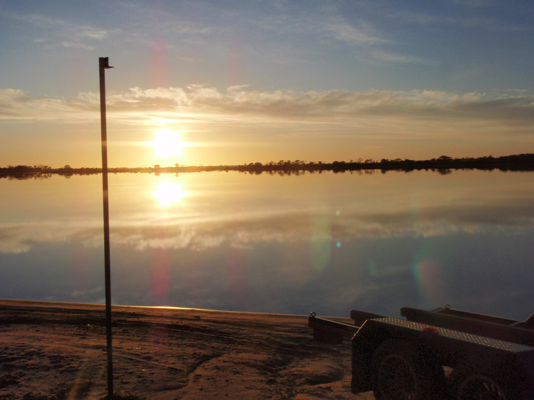
Yenyening Lakes are an important part of the Wheatbelt environment from an environmental, economic, and social view point. The lake system is made up of a
chain of lakes covering an area from the Qualandary Crossing through to the Corrigin-Quairading Rd. The Lakes are a very significant feature in the context of wheatbelt hydrology, located at the junction where the sluggish saline valleys meet the channelised Avon River.
All the water from the Lockhart and Yilgarn catchments flows through the Yenyening Lakes and into the Avon River from an area of 91000 square kilometres.
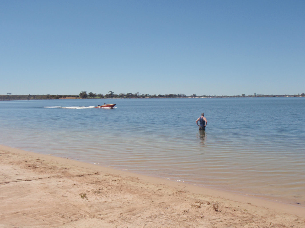
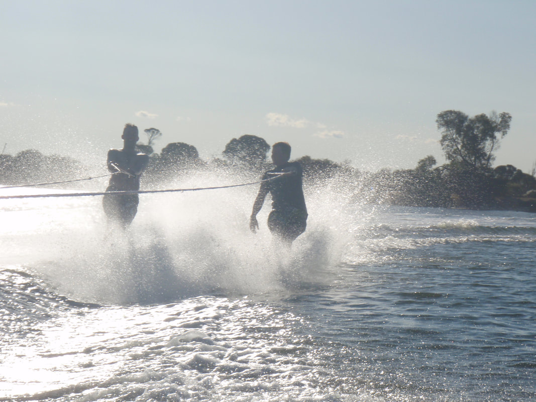
Recreational use of the lakes has been enjoyed by families since the early 1960s when local farmers John McLean Jr and Eric McLean provided access into the lakes, allowing people to enjoy water skiing, camping, canoeing, kayaking, surf cat sailing, windsurfing and bird watching. The Beverley Ski club was formed at this time and have since held water skiing competitions, and other aquatic events.
The lakes are unfortunately not always full as generous rainfall is needed to fill them each year. They are an immense ecosystem providing habitats for an array of native flora and fauna, including breeding black swans, mountain ducks, minos, echidnas and kangaroos.
Directions
There are a number of routes that will take you to County Peak. The most direct is down Great Southern Hwy and left at Kokeby East Rd. Please note that Google Maps may not take you on the most direct route.
Some roads are gravel, but are regularly maintained, in good condition and suitable for non-4WD vehicles. Each route will take you through some beautiful Beverley countryside.
Please consider current weather conditions as some roads may be closed during high rainfall events. Contact the Shire of Beverley for more information.
chain of lakes covering an area from the Qualandary Crossing through to the Corrigin-Quairading Rd. The Lakes are a very significant feature in the context of wheatbelt hydrology, located at the junction where the sluggish saline valleys meet the channelised Avon River.
All the water from the Lockhart and Yilgarn catchments flows through the Yenyening Lakes and into the Avon River from an area of 91000 square kilometres.
Recreational use of the lakes has been enjoyed by families since the early 1960s when local farmers John McLean Jr and Eric McLean provided access into the lakes, allowing people to enjoy water skiing, camping, canoeing, kayaking, surf cat sailing, windsurfing and bird watching. The Beverley Ski club was formed at this time and have since held water skiing competitions, and other aquatic events.
The lakes are unfortunately not always full as generous rainfall is needed to fill them each year. They are an immense ecosystem providing habitats for an array of native flora and fauna, including breeding black swans, mountain ducks, minos, echidnas and kangaroos.
Directions
There are a number of routes that will take you to County Peak. The most direct is down Great Southern Hwy and left at Kokeby East Rd. Please note that Google Maps may not take you on the most direct route.
Some roads are gravel, but are regularly maintained, in good condition and suitable for non-4WD vehicles. Each route will take you through some beautiful Beverley countryside.
Please consider current weather conditions as some roads may be closed during high rainfall events. Contact the Shire of Beverley for more information.